
Trace a Somerville Street Directory by Address
A sound street-by-street search starts with one physical address, not a guessed household. Record its number and spelling, then use the city map to identify the parcel and its MBL or map-block-lot reference. From there, the assessor supplies the municipal tax record and the Registry supplies recorded title documents. A historical directory, poll-tax listing, census entry, or local voter-record request can add a dated person-and-address observation. Those are separate levels of evidence, so label them that way.
- Find the address in the city GIS or the assessor search, and save the street spelling, parcel reference, and any alternate address label.
- Open the assessor detail to distinguish the situs address from the owner mailing address and tax owner name.
- Use the parcel reference, legal description, or address in the Middlesex South Registry search to locate the current recorded instrument.
- Move backward through grantor and grantee names, book/page references, plans, and prior citations when title history matters.
- For a date-specific household clue, ask the Somerville Public Library for the relevant directory or poll-tax volume, or use the local election office’s public-record route.
One parcel can carry more than one address label, and more than one parcel can share an address. Keep each parcel row separate before comparing names. Note: A current tax owner, a deed party, and a historical directory entry are different record roles.
Search Somerville Addresses by Field
Somerville’s VGSI property search is the quickest address-to-parcel route. Its selector offers Address, Owner, Acct#, Mblu, PID, and All. Address is the natural starting mode for an address search, while Street Listing, Sales Search, and Map provide other ways to move through the same tax database. The search screen does not promise a mailing-address field, so inspect the resulting parcel detail before drawing any conclusion from a correspondence address.
| VGSI control | Input | Street-directory use |
|---|---|---|
| Address | Street number and street name | Starts a parcel search at a physical location. |
| Owner | Owner name | Checks a tax-owner name after an address search. |
| Acct# | Account number | Reopens a known tax account. |
| Mblu | Segmented map, block, lot, and unit fields | Matches the parcel reference recorded from a map. |
| PID or All | Parcel identifier or broad search text | Provides an alternate route when an address is incomplete. |
Open the live assessor search to see the actual mode menu used for Somerville parcels.
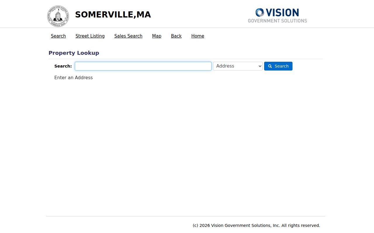
The screen confirms that the tax database is designed around address and parcel identifiers as well as owner names. Its result is a municipal assessment record, not a declaration of every private household member connected with the address.
Map a Somerville Street Segment
The city’s PublicGISViewer service gives a street search its spatial check. It lists parcels, building footprints, street centerlines, wards, precincts, neighborhoods, zoning, city limits, nearby municipalities, and aerial imagery. Use the map to locate a segment, then read the parcel fields before carrying the identifier into VGSI. The related PropertyLookup parcel layer exposes MBL, MAP, BLOCK, LOT, AddNum, Street, and alternate address fields.
- Parcel
- A mapped piece of land used by the assessor. It is a useful research unit, not proof of who occupies it.
- Situs address
- The physical location of the parcel, which can differ from a correspondence address for the owner.
- Legal description
- The deed-controlled description, often using lot, plan, or map references, that can survive an address change.
- Criss-cross directory
- An address-arranged directory section used to connect an older address with a dated listing.
View the official GIS service before relying on a polygon or a boundary label.
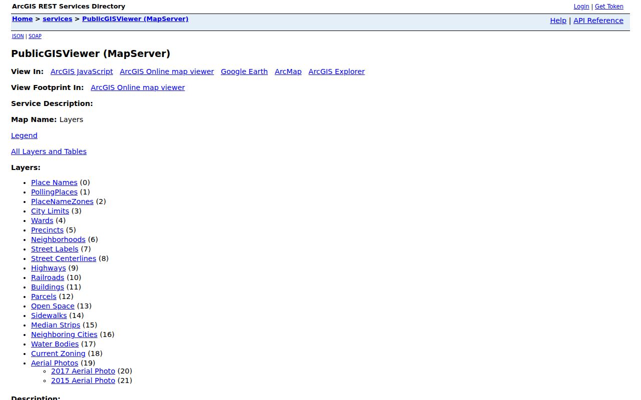
GIS geometry is valuable for matching a street number to a parcel and neighboring lots. A survey, plan, or Registry document controls if a legal boundary or title question needs an answer.
Somerville Address Records by Street
Address-keyed sources do not all describe the same thing. The assessor and tax maps help establish the parcel. GIS adds the street and neighborhood setting. The Registry identifies recorded parties and instruments. Permit files document work or a project at the address. Library sources can place a name there in a particular historical period. Use the source that matches the question instead of converting every address record into a person record.
| Address record | Somerville keeper | What it can establish | Access channel |
|---|---|---|---|
| VGSI tax parcel | Assessing Department | Tax owner, situs and mailing addresses, parcel reference, value and classification | Free web search or assessor counter |
| Parcel map and GIS | City GIS / Assessing | Parcel shape, map/lot fields, street labels, wards, precincts and zoning | Free services and PDF map library |
| Recorded land | Middlesex South Registry | Grantor, grantee, legal description, plans, liens, book/page and date | Free online search/images, counter, phone or written request |
| Permit or jacket file | Inspectional Services | Construction, alteration, demolition, occupancy or project information | CitizenServe for current work; counter files for earlier records |
| Directories and poll-tax books | Somerville Public Library | Dated street and household clues, ward and precinct context | Local History Room, scans and microfilm |
For a current permit or license route, use Somerville CitizenServe. Earlier original building permits run from 1895, and repair and alteration jacket files run from 1940 at Inspectional Services, 1 Franey Road. Note: Permit participants document a project, not necessarily a present private household.
Connect Somerville Parcels to Deeds
The Middlesex South Registry of Deeds search is the title layer for a Somerville address trail. It includes Recorded Land and Registered Land or Land Court modes, plus Name, Document, Book, Property, Recorded Date, Plans, and Unindexed Property options. The Registry itself is in Cambridge because Middlesex County government was abolished, while the separate Registry remains the land-record custodian for Somerville. That split explains why the city assessor and the Registry are both needed.
Start with the most recent recorded deed. Note the grantor, grantee, date, book/page or document number, legal description, plan reference, and prior deed citation. Search the earlier grantor as a possible earlier grantee, then repeat with name variants, property, book, and legal-description searches. The online page does not state a single earliest searchable year. Its Unindexed Property option for Book 1 through 1024 signals that older work may require the Registry counter, phone, email, or a written Massachusetts Public Records Law request.
Searches, viewing, printing, and downloading were described as free by the Registry at research time. The Registry’s official home page also warns that expensive deed-copy solicitations are unnecessary when an official copy can be printed through the Registry. This is a title trail, not a current street roster.
Somerville Permit History by Address
Permit records add an address-based physical history that is different from title or private occupancy. Somerville’s house-history guidance says original building permits run from 1895 to the present, while repair and alteration jacket files run from 1940 to the present. They can document construction, additions, conversions, demolition, and other work that helps date a building or explain a change to a parcel. They do not turn a permit applicant, contractor, or project contact into a confirmed resident.
For current research, CitizenServe is the city’s online permit and license route. First-time users register, choose a service category, review the stated requirements, and apply or research through the portal. The reviewed city landing page did not publish a full public result schema, a date-range rule, or an export limit. Inspectional Services at 1 Franey Road is the counter fallback for home and property permit records, especially when an older jacket file is needed.
Keep a permit search in its own column beside parcel, deed, and directory results. Its value is the dated address event, such as a change to the building, not a claim about everyone associated with that address.
Weigh Somerville Address Evidence
A reliable address file has four distinct levels. A spatial match comes from the GIS polygon and street number. A tax match comes from the assessor parcel and owner or correspondence fields. A title match comes from a Registry instrument and its legal description. A historical occupancy match comes from a dated directory, poll-tax entry, census, newspaper, or permitted voter record. Record the source and date at each level instead of blending them into one profile.
That method matters when a map and a deed seem to point in different directions. A GIS service can show adjoining parcels. VGSI can show a tax owner. A deed can identify a recorded grantee. A directory can place a person at an address in a particular year. None of those facts alone proves the others. If the chain breaks, use the Registry’s plan and unindexed-property routes, the library’s maps and microfilm, or the appropriate counter rather than filling the gap with a guess.
Note: Save the address as written, the source date, the MBL or legal reference, and the exact record role for each finding.
Somerville Voter Records by Street
Massachusetts keeps the public access route local. The state’s voter status form is intended for the individual voter and requires first name, last name, birth month, day, year, residential ZIP, and an acknowledgement. It is not a public address-by-street search. When an older record is needed, contact the Somerville City Clerk and request Elections or Election Commission records through the local public-record process.
Local public voter material can include a registered name, residence address, party, date of birth, activity status, voter ID, mailing address, registration changes, and participation history, subject to stated restrictions. Confidential registrations, minors’ records, phone and email data, permanent absentee status, and other protected fields are withheld. The statewide voter file is not a public record. This local-only route is an important limit on any claim that an address search can identify everyone along a block.
The City Clerk is at Somerville City Hall and can direct a request to the correct local office. Specify Somerville, a date range, the desired paper or electronic form, and whether the request seeks a public voter list or a particular registration record. Note: A voter entry is tied to its record date and should not be used to infer a current address.
Somerville Ward Changes Along Streets
Street research in Somerville needs a date as well as an address. Local city directories from 1851 through 1933 are arranged by name, while the run from 1939 forward is arranged by ward, precinct, and address. Poll-tax directories cover 1887 through 1938 and are organized by ward, precinct, then street address, with the pre-1920 limitation that only men were listed. The 1889 book reflects four wards. Modern Somerville uses seven wards and precincts after the post-2020-Census reprecincting.
That arrangement change is a useful quirk for historical address research. Do not force a present ward or ZIP onto an older entry. Compare the directory year, historic ward map, old street spelling, current parcel map, and deed legal description. The research did not locate an official citywide list of street renumberings or renamed streets with dates, so a careful search follows maps and legal descriptions rather than guessing a conversion.
The Somerville Public Library Local History Collection holds the directory and poll-tax runs, including microfilm access. For the full historical shelf and how to read a directory entry, use the Somerville Directory Book.
Privacy Limits on Somerville Addresses
An address search cannot expose every person connected with an address. Tax ownership can differ from private occupancy. A property map does not list household members, guests, delivery records, or utility customers. Massachusetts confidential voter registrations and the Address Confidentiality Program intentionally protect certain addresses. Driver-address data is also restricted by the federal Driver’s Privacy Protection Act. A missing name means only that the selected public source had no matching entry.
Lawful use. Somerville address records support personal, lawful research and civic curiosity. Do not use a name, address, map, or record trail to stalk, harass, intimidate, or harm anyone.
For a record that is not online, preserve the address, relevant date range, record type, and department, then ask the custodian about its counter, phone, mail, archive, or public-record channel. This protects the distinction between an official record and an unsupported conclusion.