
Somerville ZIP Coverage
Three standard postal ZIPs serve Somerville: 02143, 02144, and 02145. They are delivery geographies, not legal lines around neighborhoods or city territory. The city’s records use parcels, wards, precincts, and street addresses instead. Use the table as a practical orientation tool, then verify a specific address with USPS before connecting it to a municipal record. The research did not locate official station names, a current neighborhood-by-ZIP population table, or a verified ZIP-boundary shapefile, so those details should not be assumed.
| ZIP | Somerville areas commonly associated | Postal designation | Research note |
|---|---|---|---|
| 02143 | East Somerville, Union Square, and eastern or central portions | Somerville postal city | Postal lines need not match a neighborhood or ward. |
| 02144 | Davis Square, Teele, West Somerville, and central-west portions | Somerville postal city | Confirm the exact route by address. |
| 02145 | Winter Hill, Ten Hills, Magoun, northern portions, and Assembly-area addresses | Somerville postal city | Postal geography does not equal a city-limit or planning-area line. |
The Commonwealth ZIP report also identifies these three as Somerville ZIPs, but it does not supply a legal boundary polygon. A postal city label is not proof that a particular parcel is inside city limits.
Somerville ZIP Code 02143 Context
02143 is commonly associated with East Somerville, Union Square, and eastern or central parts of the city. Those names are useful local context, not a definitive boundary description. A neighborhood may cross delivery and election lines, and a postal result may not correspond to a ward or a city planning area. The safest record sequence is address first, USPS confirmation second, then the city’s parcel and GIS records.
For an address near another municipality, compare the returned delivery ZIP with the assessor situs address and the city-limit layer. The situs is the physical parcel location used by the assessor. A correspondence address listed for an owner can be somewhere else and should not replace the physical address in a postal-address search.
Somerville ZIP Code 02144 Context
02144 is the postal context often associated with Davis Square, Teele, West Somerville, and central-west portions of the city. Davis and Teele are meaningful community labels, but neither is a formal ZIP boundary. The same is true of ward and precinct lines. A person looking for a record should preserve the street, number, unit when relevant, and the date of the record rather than relying on a square name alone.
Historic material creates another reason for care. An old directory may organize an address by ward, while present postal service uses a ZIP. Do not insert a modern delivery code into a historical listing as if the historic source had used it. Match the old street and ward to maps and parcel records first, then add a current postal reference only as a cross-check.
Somerville ZIP Code 02145 Context
02145 is commonly connected with Winter Hill, Ten Hills, Magoun, northern parts of Somerville, and Assembly-area postal addresses. Those associations are approximate, especially near city edges and where planning areas change. USPS address verification is the right tool for a specific delivery point. It is more reliable than trying to trace a postal boundary from an informal neighborhood description.
Somerville’s compact geography makes this distinction especially important. The city sits beside Cambridge, Medford, Everett, Boston or Charlestown connections, and Arlington-area connections. Nearby addresses may have similar street names, postal labels, or neighborhood references. Pairing the ZIP with the complete street address and official map context prevents a search from drifting to the wrong municipality.
Find Somerville Residents by ZIP
A postal search works best as a narrowing step, not as a citywide resident list. USPS offers three lookup paths: by address, by city and state, and by cities from a ZIP. Its own warning says a ZIP result does not confirm that a person or organization is at the address. After a ZIP is confirmed, use the full address in city tools and preserve the source date with every record.
- Use USPS by address with the complete street and city information to confirm the current delivery ZIP.
- Open the Somerville GIS service and assessor database with the street address, not an assumed ZIP boundary.
- Check whether the situs address falls on a Somerville parcel and note its MBL or map-block-lot reference.
- For public voter information, use the local election-office request route. The statewide status form is designed for the individual voter, not a ZIP-wide public search.
- Once the address is fixed, use the Somerville street directory for the fuller parcel, deed, permit, and historical-address trail.
The Massachusetts voter-status form requires first and last name, birth month, day and year, a five-digit residential ZIP, and an acknowledgement. Search tips say to use the name supplied at registration and, after a move, to try the former ZIP. A recent registration may take two to three weeks to appear. That form is for the individual voter. For a public local list, contact the Somerville City Clerk and request Elections or Election Commission records under the local public-record route. The statewide voter file is not a public record, and confidential registrations remain protected.
| USPS lookup mode | Information used | What it helps confirm |
|---|---|---|
| By Address | Street address, city, and state | The ZIP used for that delivery address. |
| Find by City and State | City and state | Postal ZIPs associated with the city. |
| Cities by ZIP | A ZIP | Postal city information associated with that code. |
See the USPS ZIP Lookup to choose the form that fits the search.
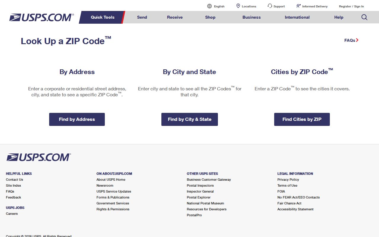
The USPS screen shows the separate address, city-and-state, and ZIP-to-city paths. It confirms delivery geography, while city records remain necessary for parcel, ward, and municipal context.
Somerville Postal Search Limits
The city’s VGSI property search does not publish a ZIP selector. Its documented modes are Address, Owner, Acct#, Mblu, PID, and All, plus Street Listing, Sales Search, and Map. That means an accurate ZIP-focused search moves from USPS and an exact address into the assessor tool, rather than pretending the assessor can return a complete ZIP result. The public GIS service supports spatial parcel review, but the reviewed service list did not identify a ZIP layer.
Open the Somerville assessor interface to use its actual address and parcel controls.
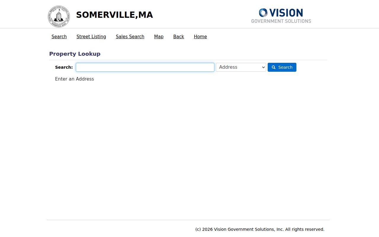
The visible selector is a reminder that a ZIP is not a substitute for the address, MBLU, account number, or parcel identifier used by the city’s tax database.
The Somerville PublicGISViewer adds parcels, buildings, streets, wards, precincts, neighborhoods, zoning, city limits, nearby municipalities, and aerial imagery. It helps test whether an address belongs to the municipal parcel area after its postal ZIP is known.
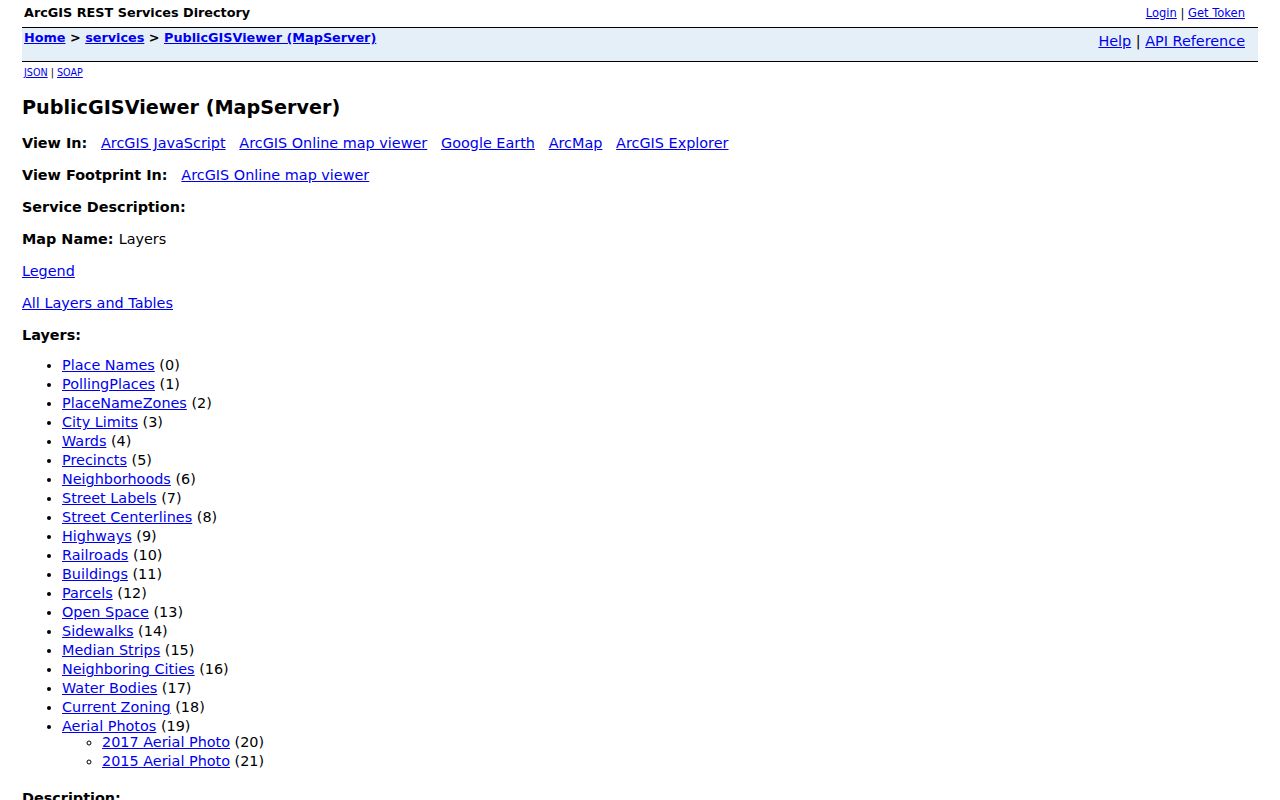
Use a mapped parcel as spatial context. A GIS polygon is not a certified survey, and it cannot by itself establish a delivery route or a person’s private household.
Somerville ZIPs, Wards, and Squares
Somerville’s 2020 Census count was 81,045 within roughly 4.1 square miles, a dense setting with many overlapping labels. East Somerville, Assembly Square, Union Square, Davis Square, Teele Square, Ball Square, Magoun Square, Winter Hill, Ten Hills, Prospect Hill, Spring Hill, Central Hill, and West Somerville are all useful community or planning references. They are not interchangeable with delivery ZIPs, wards, precincts, or city parcels.
Ward and precinct geography also changes on its own timetable. The city updated reprecincting maps after the 2020 Census and plans another review after 2030. For an election question, use the Massachusetts polling-place lookup, which accepts a city or town or a ZIP alongside the street address. It returns election information, not a directory of people. Note: Keep postal, election, neighborhood, and parcel geographies as separate fields in research notes.
Historic Somerville Addresses Beyond ZIP Codes
Modern postal codes do not explain an 1889 directory, a poll-tax list, or an old deed. The historical bridge is directory year, ward or precinct, historic map or atlas, current street centerline or parcel, then a current USPS result. Somerville directories show a shift from a name-first arrangement in 1851 through 1933 to ward, precinct, and address arrangement from 1939 forward. The 1889 volume reflects four wards, while modern Somerville has seven.
When an old address does not line up neatly, compare the 1852, 1874, 1884, 1895, Sanborn 1900, and current assessor maps, then follow the legal description in the deed chain. No official citywide renumbering list with dates was located in the research, so avoid guessing an old-to-new conversion. The Somerville Public Library Local History Collection is the fallback for directories, poll-tax microfilm, maps, and newspapers.
Somerville Postal Boundary Limits
A Somerville mailing address is not proof that a parcel lies inside Somerville. The assessor situs address, an owner’s correspondence address, and a USPS delivery ZIP can all differ. A block near Cambridge, Medford, Everett, or Charlestown may need an especially careful city-limit review. ZIPs are postal delivery areas, while Census ZCTAs are statistical approximations. Neither defines a legal city line.
- ZIP
- A postal delivery area assigned to an address, not a municipal boundary.
- ZIP+4
- An added delivery detail used with a base ZIP; it does not create a new city boundary.
- PO Box ZIP
- A postal code used for post-office box delivery, which may not describe a street-delivery area.
- Unique ZIP
- A postal code assigned to a single organization or delivery arrangement when USPS designates one.
- Carrier route
- A delivery sequence used by USPS. It is not an assessor parcel, ward, or neighborhood boundary.
Boundary check. Confirm the delivery ZIP with USPS, then confirm the city parcel through Somerville GIS or VGSI before attaching municipal records to an address.